








Does the Kolkata Airport Funnel Zone Restrict Building Height on Any New Town Plots?
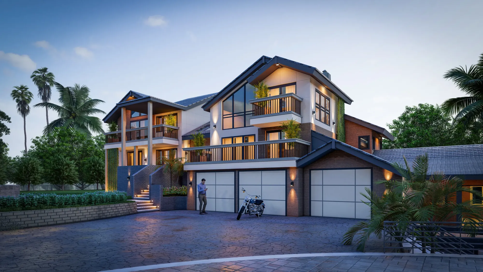
Clients planning a taller residential or commercial building in New Town often come to us having already worked out their height entitlement from FAR and setback rules alone, and are surprised to learn that on plots sitting within a certain distance of Netaji Subhash Chandra Bose International Airport's approach and takeoff paths, the Airports Authority of India's funnel zone restrictions can cap the sanctioned height well below what NKDA's own floor area ratio would otherwise permit, which means the two calculations need to be run side by side rather than assuming whichever number is lower from FAR alone is your ceiling. The funnel zone is essentially an inverted cone of protected airspace that widens as it moves away from the runway ends, and because New Town sits along one of the approach corridors into the airport, a meaningful share of its plots, particularly those closer to the airport-facing edge of the township and along stretches nearer Baguiati and the VIP Road corridor, fall within a distance where AAI height clearance becomes a real, binding constraint rather than a theoretical one that only affects plots immediately next to the runway fence.
What the Funnel Zone Actually Restricts
The AAI's height restrictions around any operational airport work on a sliding scale tied to distance from the runway centreline and threshold, so a plot sitting close to the airport boundary faces a much lower permissible height than one several kilometres further out, and the exact permissible elevation at any given point is calculated against mean sea level rather than expressed as a flat number of storeys, which is part of why so many owners get confused when a neighbour's building looks similar in scale but received a different height clearance. We have handled projects on plots at varying distances from the airport, and the practical reality is that for most of central New Town, comfortably beyond the immediate funnel cone, the AAI clearance rarely becomes the binding constraint and NKDA's FAR-based height allowance governs the design as usual, but for plots on the township's northern and eastern edges closer to the airport approach, we now check AAI clearance requirements as a first step before we even finalize a massing concept, because redesigning a scheme after discovering a height cap partway through the sanction process wastes weeks that a five-minute distance check at the outset would have saved.
How NKDA's Own Sanction Process Handles This
| Plots Well Outside the Funnel Zone | Plots Within the Funnel Zone |
|---|---|
| FAR and setback rules typically govern maximum height | AAI height clearance can override FAR-permitted height |
| No separate airport NOC generally required | AAI no objection certificate needed alongside NKDA sanction |
| Height planning follows standard NKDA norms | Height planning must be checked against sea-level elevation limits |
| Design freedom on upper floors is usually straightforward | Upper floor massing may need revision to stay under the cap |
NKDA's sanctioning desk does not independently police AAI's airspace rules in the sense of calculating the funnel zone limit for every applicant, so the responsibility largely falls on the architect and the plot owner to determine whether a given plot needs AAI clearance before submitting drawings, and where it does apply, that no objection certificate needs to be obtained from AAI and placed in the sanction file alongside the usual NKDA documentation, meaning a project on an affected plot effectively carries two separate approval tracks running in parallel rather than one. We generally recommend clients on plots anywhere near the airport-facing side of New Town start the AAI clearance conversation early precisely because it runs on its own timeline, separate from NKDA's own scrutiny process, and can take considerably longer to resolve if there is any ambiguity about the plot's exact coordinates relative to the funnel boundary.
What the Two-Track Approval Adds to Your Timeline
We tell clients upfront that carrying an AAI clearance alongside an NKDA sanction file typically adds somewhere between four and eight weeks to the overall approval timeline, depending largely on how quickly AAI's regional office responds and whether the plot's coordinates are unambiguous or need additional survey documentation to settle a boundary question, and that stretch of time sits on top of NKDA's own scrutiny period rather than overlapping neatly with it in every case. On a mixed-use plot we advised on further along the VIP Road corridor, the AAI response came back in a little over five weeks once the coordinate survey was submitted correctly the first time, which is a reasonable outcome, but we have also seen cases drag closer to three months when the initial submission had a coordinate discrepancy that needed to be resolved before AAI would process the file, so we build the more conservative estimate into any project timeline we quote for a plot near the approach corridor rather than promising a client the best-case scenario and risking a missed handover date.
A Recent Project Where This Actually Mattered
- 01Plot coordinates checked against AAI's published height restriction data
- 02Massing concept sketched within the indicated elevation cap before detailed design began
- 03AAI no objection certificate applied for in parallel with NKDA drawings
- 04Final sanctioned height confirmed once both approvals were in hand
On a residential project we designed on a plot closer to the Baguiati stretch of New Town's periphery a couple of years ago, the client had initially briefed us for a four-storey structure based on what neighbouring buildings looked like from the road, and it was only once we ran the AAI check that we found the plot sat inside a portion of the funnel zone where the permissible elevation effectively capped the design at three usable floors plus a service level, which meant we had to rework the brief to fit the client's programme, a home office, three bedrooms, and a rooftop terrace, into a shorter building rather than a taller one, largely by widening the footprint slightly and being more disciplined about floor-to-floor heights than we might otherwise have been. It was a useful reminder for us that a neighbour's apparent height is not proof of what your own specific plot is entitled to build, because even a shift of a few hundred metres in plot location can move a property from comfortably outside the funnel zone to meaningfully inside it.

How to Check Whether Your Own Plot Is Affected
- Get the plot's precise coordinates and elevation above mean sea level before finalizing any height-driven design
- Cross-check the plot against AAI's published funnel zone and height restriction maps for the airport
- Start the AAI no objection certificate application early if the plot appears to fall within a restricted zone
- Do not assume a neighbouring building's height reflects your own plot's entitlement
- Confirm with NKDA whether your specific plot file requires the AAI NOC to be attached before scrutiny
For owners trying to self-check this before commissioning drawings, NKDA's own portal at nkdamar.org is a reasonable starting point for understanding how airport-related clearances fit into the broader sanction checklist for New Town plots, though because funnel zone boundaries are defined by AAI rather than by NKDA itself, we still recommend having an architect verify the plot's exact position against AAI's published restriction data rather than relying on general online guidance. Height is only one of several plot-specific constraints that can quietly override what a standard FAR calculation would suggest, and we have written separately about a related trigger point in our piece on at what plot size rainwater harvesting becomes mandatory for NKDA sanction, as well as about boundary-level rules in compound wall height and setback rules for New Town plots and general certification questions in Test.
Where Height Restrictions Fit Among Other Common New Town Violations
Height overshoots caused by an overlooked funnel zone constraint are one version of a broader pattern we see across New Town, where owners build to a brief drawn up before every applicable restriction was checked, and we have catalogued the more common versions of this problem in our post on common building violations in New Town, which is worth reading alongside this one if you are still at the planning stage and want to avoid discovering a constraint after construction has already started rather than before.
Planning a Taller Build Near the Airport Corridor?
If your plot sits anywhere along New Town's airport-facing edge and you are not certain whether AAI's funnel zone will cap your height below what FAR alone suggests, get in touch through our contact page with the plot's location and we will run the elevation check before you commit to a massing concept that might need to come back down a floor.