








How Road Width Determines Your FAR in Action Area I: A Street-by-Street Reality Check
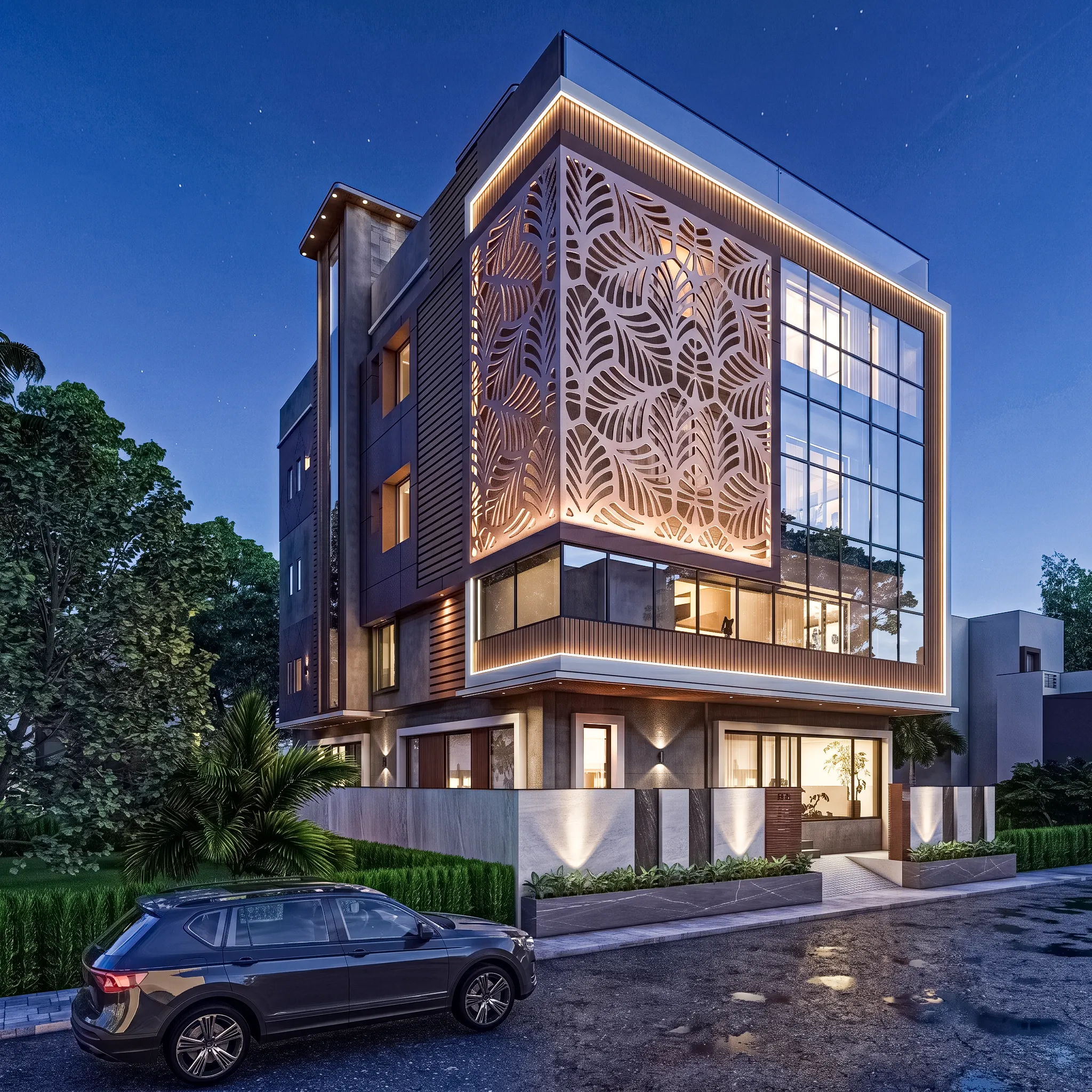
When a client walks into our studio with a plot in Action Area I and asks us what floor area ratio they can expect, the honest answer is that we cannot tell them until we know the width of the specific road their plot fronts, and we say this even before we look at the plot's square footage, because in Action Area I, more than almost anywhere else in New Town, the road abutting a plot does the heavy lifting in deciding what gets built on it. NKDA, like most municipal authorities across West Bengal, does not hand every plot in a given zone the same FAR regardless of context, it runs a sliding scale that ties permissible floor area ratio, and in a related way permissible height, directly to the width of the road the plot sits on, and because Action Area I was laid out in phases over more than a decade with road widths that range from tight, purely internal lanes in the oldest residential pockets up to substantial arterial stretches along its VIP Road and Kolkata Airport connector facing edges, this single variable produces genuinely different outcomes for plots that otherwise look nearly identical on paper. We have sat across the table from more than one client who assumed their neighbour's taller, visibly larger house sat on a bigger plot, when in fact the only real difference was that the neighbour's road happened to be four or five metres wider, and once that arithmetic is laid out plainly it tends to reshape the entire design brief, sometimes even before a floor plan is sketched.
Why NKDA Ties FAR to Road Width in the First Place
The logic behind linking floor area ratio to road width is not arbitrary bureaucracy, it comes from a genuinely practical planning concern that predates New Town itself and shows up across West Bengal's municipal building rules generally, which is that a taller or denser building generates more vehicular movement, more emergency access requirements, more parking demand at the kerb, and simply more people needing to move in and out of a plot on a daily basis, and a narrow road cannot absorb that load the way a wide one can. A fire tender needs a certain minimum carriageway to manoeuvre and position itself, ambulance and service vehicle access becomes genuinely constrained on a lane under seven or eight metres wide once even a modest ground-floor commercial use or a taller residential block is added into the mix, and NKDA's sliding scale exists specifically to prevent a scenario where a narrow internal lane in an established residential pocket ends up hosting the kind of height and density that its road network was never built to support. We explain this reasoning to clients not to lecture them on planning theory but because it genuinely changes how we approach the design brief, since a plot on a constrained road is not simply a plot with less buildable area, it is a plot where our access planning, our staircase and lift core placement, and even our proposed use have to be considered against what that specific road can realistically carry.
Reading the Sliding Scale in Practice
In broad terms, the way this plays out on the ground in Action Area I is that plots fronting the narrowest internal residential lanes, commonly running in the roughly 9 to 12 metre range across many of the area's older, more established blocks, are held to the most conservative end of the permissible FAR and height scale, while plots fronting the wider distributor and arterial roads that thread through Action Area I, several of which run 18 metres and beyond, particularly along stretches closer to the more heavily trafficked connector edges, unlock meaningfully higher FAR and taller permissible heights under the same underlying rule set. The practical range clients encounter across Action Area I's various pockets typically spans from the tighter entitlements on those sub-12-metre internal lanes up through noticeably more generous entitlements on the 18-plus metre stretches, and the difference between the two ends of that scale is not a marginal rounding error, it can be the difference between a client comfortably fitting a fourth usable floor into their design and being held to a compact ground-plus-two that leaves little room for the guest floor or home office they originally wanted. We have run this exact comparison for two clients in the same month with plots of near-identical dimensions, one fronting a narrow internal lane in an older Action Area I block and the other fronting a substantially wider road only a few streets over, and the buildable area difference between the two was significant enough that it changed one client's decision on whether to proceed with the purchase at all.
Why the Certificate, Not the Eyeball Measurement, Is What Matters
One mistake we see clients and even some less experienced consultants make is eyeballing a road's width from a site visit and working backward to an assumed FAR, and we actively discourage this because the road width figure that actually governs your sanction is the one recorded in NKDA's own records for that specific stretch, not a tape measurement taken on a single afternoon that might not account for how the carriageway is officially classified or where the effective right of way boundary actually sits. Roads can visually appear wider or narrower than their recorded width depending on where informal parking, encroachment, or unpaved shoulder falls on a given day, and we have had cases where a road that looked comfortably wide on site turned out to be recorded at a narrower official width once we pulled the relevant document, which would have thrown off a FAR estimate given casually before that step. This is precisely why, as we mentioned in our companion piece on how Action Area I, II and III differ street by street, we treat the road width certificate as one of the very first documents we pull for any New Town design brief, before we sketch a single line, because quoting a buildable area ahead of confirming that number is a mistake that becomes genuinely painful to walk back once a client has already budgeted a project around the wrong figure.
Corner Plots and the Two-Road Question
A situation that comes up often enough in Action Area I to deserve its own mention is the corner plot fronting two roads of different widths, which happens regularly in blocks where an internal lane meets a wider distributor road at a junction, and clients understandably want to know which width governs their FAR in that case. NKDA's approach generally allows the more favourable of the two road widths to apply, at least in terms of the calculation logic, though how that plays out for setbacks, entry placement and the practical building envelope still needs to be worked through carefully rather than assumed, because a corner plot brings its own setback requirements on both frontages that a single-road plot does not have to contend with. We have designed several homes on corner plots in Action Area I precisely because clients recognise the FAR advantage a wider secondary frontage can unlock, but we always model both the FAR entitlement and the actual buildable footprint together before advising a client to proceed, since a generous FAR on paper is not much use if the resulting setback geometry leaves an awkwardly shaped building envelope to design within.
What This Means for a Client Evaluating a Plot Purchase
If you are evaluating a plot purchase anywhere in Action Area I, our strong recommendation is to treat the road width certificate with the same seriousness you would treat the title deed, because it directly caps what you can eventually build regardless of how much you are willing to spend on construction. A plot that looks like excellent value on a per-square-foot basis can turn out to carry a materially lower buildable entitlement than a comparable plot two streets away simply because of the road it fronts, and that gap compounds over the life of the project, affecting everything from the number of units you can carve a group housing plot into, down to whether a basement level even makes sense given the access and ramp gradient a narrower road can accommodate, a question that connects directly to the water table and soil considerations we cover in why New Town's high water table changes the basement parking brief. It is also worth knowing upfront, if you are choosing between an individual plot and a group housing parcel, that road width interacts differently with each category, a distinction we unpack fully in where the rulebook diverges between independent house plots and group housing plots in New Town. And if part of your decision involves weighing New Town against Kolkata's other major planned area for daily convenience and social infrastructure rather than just building rules, our piece on what daily life actually feels like in Salt Lake is useful context for that broader comparison, since road width rules are only one part of deciding where to build.
Bring Us Your Plot's Road Details Before You Commit
We would rather run this calculation for you before you sign on a plot than after, because an accurate FAR figure tied to your specific road's recorded width is the single most useful piece of information you can have going into a New Town purchase, and it takes our team, working from our standing NKDA empanelment, very little time to pull the relevant certificate and give you a straight answer rather than a rough guess. If you have a plot shortlisted in Action Area I, or you are already holding one and want to know precisely what it entitles you to build, reach out to us through our contact page with the address and we will tell you exactly where your road width places you on NKDA's scale before you commit another rupee.