






Why Two Identical New Town Plots Can Get Different Sanction Outcomes
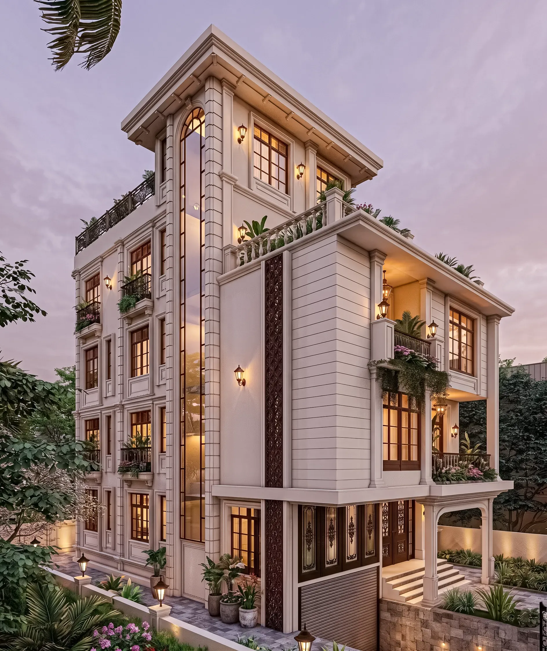
Two plots on the same street in New Town, the same width, the same depth, the same shape on paper, and both owners walk into the sanction process in the same month with roughly the same brief, which is a G+3 house with parking below and a small terrace on top. Six months later one of them is pouring foundations and the other is still redrawing, and the owner who is still redrawing usually believes he was unlucky, or that somebody somewhere was difficult with him. That is almost never what happened.
We have been practising out of New Town since 2014 and have delivered 330-plus buildings across New Town, Salt Lake, Rajarhat and greater Kolkata, and in that time the pattern has been boringly consistent, which is that two plots that look identical on a brochure are almost never identical in the things a sanction actually turns on, and even where the plots genuinely are the same the two drawing sets that go in are not, so the outcomes diverge. The plot does not get sanctioned, right, the submission does, and the submission is a document that either answers every question the rules ask or leaves gaps that come back to you as queries.
So this is a piece about where that divergence actually comes from, written for a plot owner who is about to choose an architect and is trying to work out what separates one from another when both of them will show you a nice render. None of this is about influence or shortcuts. It is about the boring, checkable inputs that decide whether your file moves cleanly or sits.
The two plots are identical, the conditions attached to them are not
The first thing we do on any New Town, Kolkata enquiry is stop talking about the house and read the plot, and by read the plot we mean the tenure and allotment paperwork, the sanctioned land use for that parcel, the width of the road it abuts, whether it is a corner plot with two road frontages, whether there is a drain or a service corridor along one edge, and what the recorded plot area is versus what the physical survey throws up. Two plots side by side in the same block can differ on almost all of that. For instance, a corner plot picks up a second frontage and therefore a second front condition, which sounds like a bonus and often is, but it changes where you can legitimately place the ramp and the gate and it shrinks the deep private zone at the back that most families actually want.
Then there is the gap between the recorded area and the measured area. It is common enough for a physical survey to come back a few square feet short or long against the allotment document, and a scheme drawn to the recorded figure and then built to the measured one will fail its own area statement later, which is a completely avoidable problem that we catch by surveying before we draw rather than after. The land documents matter in the same way. Mutation and assessment status, the chain of ownership, the name the plot actually stands in today, all of that has to be clean and consistent with the applicant name on the submission, and our checklist for that lives in our guide to the documents required for an NKDA building sanction because it is the single most common place where a first-time owner loses a month.
Same FAR, two completely different houses
Floor area ratio is the number every plot owner learns first and it is the number that misleads them most, because FAR tells you how much total floor you may build and says almost nothing about how much of it will be usable, well lit, or worth living in. Ground coverage limits the footprint. Setbacks push the footprint inward from every boundary, and a setback on a narrow plot eats proportionally far more than the same setback on a wide one, so two owners with the same FAR entitlement end up with very different buildable rectangles. Height and floor limits then cap how many times you may stack that rectangle. We have walked through the arithmetic of this in detail in our guide to FAR and ground coverage rules in New Town, and the practical takeaway is that the architect who plans the footprint first and the elevation later gets more house out of the same entitlement than the one who does it the other way round.
The catch here is that the difference shows up as lifestyle, not as a number on a page. On one scheme the staircase and lift core sit against a side wall and every bedroom gets an external face with cross ventilation, and on the other the core lands in the middle, so you get an internal bathroom, a dark landing and a corridor you will light artificially at two in the afternoon for the next thirty years. Both are sanctionable. Only one of them is a good house, and that judgement is what you are actually buying when you hire for residential architecture rather than just a set of drawings.
| Scheme that gets queried | Scheme that moves |
|---|---|
| Footprint drawn to the render, setbacks adjusted afterwards | Footprint drawn to setbacks and coverage first, form developed inside it |
| Area statement rounded and approximate | Area statement reconciled line by line against plan, section and elevation |
| Parking shown as a shaded rectangle | Parking shown with real bay sizes, aisle width and a turning path |
| Services and drainage decided on site | Services, drainage and rainwater routing fixed in the drawing set |
| Ownership papers gathered when asked | Ownership, mutation and survey reconciled before design starts |
The drawing set is the application, and it is judged as a document
Here is the part most owners never see, because they see renders and their neighbour sees renders, and both sets of renders look great. What goes into a sanction file is a coordinated technical document, and its quality is measurable. The plan, the section and the elevation have to agree with each other on every level, every floor-to-floor height and every projection. The area statement has to add up, both internally and against the plot area on record. The parking count has to match the units proposed. The structural and services information has to be present at the level expected. Where a scheme touches something specific, like a boundary wall condition or a ramp gradient, it has to be drawn, not assumed.
When a file gets queried it is usually not because somebody decided the house was ugly, it is because a number in one drawing contradicts a number in another drawing, or because something the rules ask about was left blank. We have written up the recurring ones in why building plans get rejected at NKDA, and if you read that list you will notice how few of them are design disagreements and how many are coordination failures. Basically, a query is the file asking you a question you should have answered in the first submission.
Parking, ramps and circulation, where plans quietly break
If we had to pick the single most under-drawn element on schemes that come to us for a second opinion, it is parking. On paper a car is a rectangle and it fits. In reality a car has to enter through a gate of a given width, turn within the plot, clear a ramp at a gradient a loaded car can actually climb in the monsoon, and park without blocking the staircase, the meter room or the second car. Draw the turning path properly and you will find that a lot of neat-looking ground floor plans do not work, and the fix, which is usually shifting the core or the gate by a few feet, is trivial at design stage and expensive once columns are cast.
The same logic applies to drainage and water. Roof drainage, ground level slopes, the position of the underground reservoir, the septic or sewer connection and rainwater routing all have to be resolved together, and in a city with our rainfall the difference between a house that stays dry and a house that develops a damp ground floor wall in its third year is decided in these drawings, not on site. This is also where an experienced eye earns its fee, because the people who have done this hundreds of times in this soil and this climate know which details fail here.
- Physical survey reconciled against the allotment and ownership papers
- Footprint tested against ground coverage and setbacks before any elevation work
- Area statement that adds up across plan, section and elevation
- Parking bays, aisle, gate width and ramp gradient drawn with real turning paths
- Drainage, reservoir, sewer and rainwater routing fixed in the set
- Structural and services information at the level the submission expects
What the timeline actually looks like, and what a re-submission costs you
The honest version of the schedule is that the design and documentation stage takes as long as it takes to get right, and the statutory stage then runs at its own pace regardless of how much anybody wants it to hurry. What you control is how many rounds you go through, and each avoidable round costs you calendar time, revised drawings, and very often a construction start pushed past the rains, which is the expensive part because a delayed start can mean a season lost rather than a fortnight.
- 01Site survey and document reconciliation
- 02Feasibility massing against FAR, coverage, setbacks and height
- 03Design development with client sign-off
- 04Coordinated submission drawing set
- 05Statutory sanction process
- 06Construction drawings and site execution
We take residential and commercial projects through the NKDA, KMC and Bidhannagar Municipal Corporation sanction processes routinely, and that repetition is the whole point, because it means the checks happen at draft stage inside our office instead of arriving later as queries. If you want the sequence in more detail, our walkthrough of the NKDA building plan sanction process for New Town sets out the stages, and the companion piece on what architects actually handle in NKDA plan approval is the one to read if you are trying to work out what you should be doing yourself and what you are delegating.
How to tell the two architects apart before you sign
At the end of the day you are choosing between two people who both seem competent in a first meeting, so ask questions whose answers cannot be improvised. Ask them to walk you through the buildable envelope on your specific plot before they show you a single image, and see whether they reach for coverage, setbacks and height limits or whether they reach for a mood board. Ask what documents they need from you in week one. Ask how they will show you the scheme in three dimensions before anything is committed, because 3D visualisation and rendering is not decoration, it is how a non-technical client catches a room that is too dark or a stair that is too steep while it is still cheap to change. If orientation and layout matter to your family, ask early, because vastu-compliant design is far easier to hold together when it is an input to the plan rather than a correction applied to a finished one.
Ask to see built work in your own area too, since a studio that has worked repeatedly in New Town knows the plot geometries, the road conditions and the soil, and you can see how that plays out on something like our G+3 residence in Action Area II. And if you are still narrowing down between practices, our note on choosing an architect across Action Area 1, 2 and 3 covers the questions worth asking in a first meeting.
So the answer to the question in the title is that identical plots do not get different outcomes, identical-looking plots with different underlying conditions and very different quality of submission do, and the second of those is entirely within your control on the day you choose who draws your house. Our principal architect Sumana Kumar leads that process here, and the way we run it is deliberately front-loaded, which means the survey, the documents and the envelope test all happen before you get attached to a design. If you have a plot in New Town, Salt Lake or Rajarhat and you want a straight read on what it can actually take before you commit to anything, get in touch with the studio and bring your papers to the first meeting.